PhotoModeler 2019.1 and Pattern Capture Add-on Release

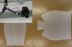
Mounted Camera and Pattern on Table Mosaic

PhotoModeler 2019.1.0 was released on March 27th, 2019.  This release contains 59 improvements and fixes! The significant improvement and new feature is the Pattern Capture Add-on for 2D template and pattern digitization. If you work with textiles and have a need to accurately digitize large patterns, then PhotoModeler Standard with the Pattern Capture Add-on (or […]

New Method for Measuring Movement in Security and Surveillance Video

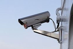
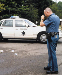
Security Camera

When you have a sequence of images containing data/evidence spread over several frames recorded from the same position, for example, a series of frames from a fixed security camera, you can use PhotoModeler’s image sequence feature to measure or track objects in the scene over time! Here are some possible uses: Calculating and comparing the […]

Low-Cost Cameras for Photogrammetry and Measurement

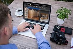
What makes a good low-cost camera for photogrammetry?  Photogrammetry is the technique of using a camera to measure and model the real world. First, note that low-cost is a relative term – we are not talking about a $150 camera – instead of between $750 and $1200.  This is more aptly titled: “What is the […]

PhotoModeler Premium / V2019 Releases and Pricing Changes

  This post is old. Please refer to newer release posts. PhotoModeler Premium PhotoModeler Scanner and PhotoModeler UAS have been replaced by one product, PhotoModeler Premium. There are now two PhotoModeler products:  Standard and Premium. PhotoModeler Premium is a complete super-set of PhotoModeler Standard. PhotoModeler Premium is priced as Scanner was. All the drone and […]

PhotoModeler 2018.1 Release and Drone Vertical Datums

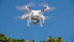
Drone Photography

PhotoModeler Release PhotoModeler version 2018.1.0 was released April 11th, 2018. It has a number of large and small improvements and fixes. UAV Control Marking Improvement. UAV and drone projects with GCP (ground control points) are now easier to set up. Multi-point Transform Improvement. Multi-point transforms can now be formed with just one point assigned (translate), […]

Why use Photogrammetry for Surveying and Mapping?

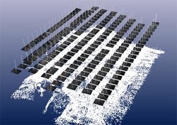
Photogrammetry UAV Camera Station Layout

Photogrammetry has a long history of use in the surveying and mapping field. Photogrammetry can be used for point measurements or for generating point clouds. Compared to its chief rival, LiDAR (Laser Imaging, Detection and Ranging), point-cloud generation from photogrammetry is cost-effective, portable, and versatile, so it has always had a loyal following among practitioners. […]