Tip 67: Two ways to use external XYZ data in PhotoModeler

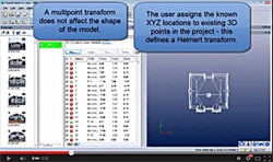
External 3D XYZ point data can be imported into PhotoModeler and used in a few different ways. This tip video describes the two most common uses: multi-point transforms, and control points. External XYZ data can be supplied by other measurement devices, such as survey total stations, GIS, laser scanners, or other photogrammetry projects. This data, […]
Tip 56: Getting Slope or Level in a Photogrammetry Project

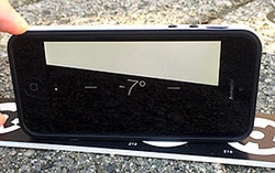
Leveling is the process in surveying of orienting a coordinate system to the local gravity field. Even in non-survey tasks, like house construction (or putting up a shelf!) you’ll use a level to get all items lined up with gravity. In performing a photogrammetric measurement, modelling or survey you may want the results oriented to […]
Accuracy of Pile Volume Measurement with Photogrammetry

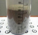
Accurate volume measurement of piles of material is important in a number of applications, such as: stock pile inventory management, volumes of tailing piles, volume of organic materials in composting operations, quarry pit size, mine reclamation, etc. These piles are difficult to measure due to their size, difficulty of traversing, and non-uniform shapes. The advent […]
