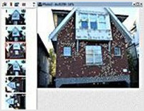
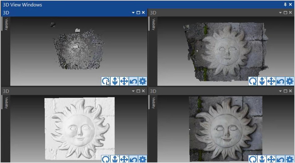
Point Cloud Models & UAV Drone Tutorials and Videos

Dense surface modeling techniques using ground and aerial photos.


Introduction

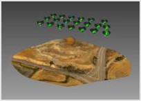
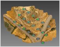
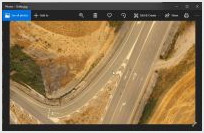
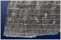
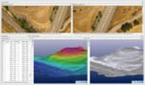
An introduction to UAV and drone photogrammetry

SmartMatch and DSM

Introduction of the SmartMatch tool and Dense Surface Modeling.

UAV/Drone 1 Introduction

Introduction of the typical first processing steps of a UAV / drone project. Also see all UAV tutorial section below.

UAV/Drone 2 Dense Surface

Demonstrates how to create a high density surface using the MVS tools based on the UAV Introduction data set.

Back to top


UAV/Drone 3 Orthophotos

Follow on from UAV Intro. Describes creating an orthophoto in a UAS project.


Back to top


General Features

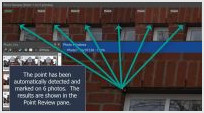
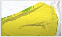
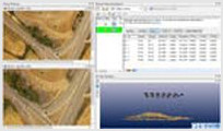
Some other features for dense point cloud modeling and tools that are useful for these projects

Point Auto-detect

Improve the speed of manual marking and referencing using the Point Auto-detect mode. Mark a point in a single photo, and have it automatically detected, marked, and referenced in other photos.

Colorized by Height

Visualize height/depth of point clouds.

Creating profile contours

Profile contours can be created by drawing a line on a 3D view. This line will intersect with any PointMeshes creating a profile contour that can be measured, exported, etc.

Back to top


Creating Volume Objects

Add volume objects to your project to easily measure the volume of specific areas of a mesh.

Converting from Geographic coordinates to a Local system

Describes how with a UAV project, done with geographic coordinates (typical default drone GPS data), you can work in a different coordinate system defined by a total station survey.

Use LIDAR to Help Solve a Single Photo Forensics Case

The video describes how PhotoModeler can use a 3D laser scan (LIDAR) of a crime scene to solve and extract information from a security / surveillance camera.

Back to top


Other (Old UI)

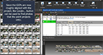
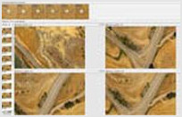
A selection of UAV specific tutorials created using an older user interface

UAV Adding Manual Points

Follow on from UAV Intro. Describes adding individual points manually and via Auto-detect. For PMU version 2017.0.2 and later.

UAV Contours and Profiles

Follow on from UAV Intro. Describes creating and displaying contours and profiles. For PMU version 2017.0.2 and later.

UAV Ground Control Points

Follow on from UAV Intro. Describes adding ground control points to a UAS project. For PMU version 2017.0.2 and later.

Back to top


SmartMatch and Manual Marking

Creating a SmartMatch project, oriented photos automatically, and further manual modeling based on that orientation.


Back to top