How It Works – PhotoModeler’s UAS
How and When to use PhotoModeler's SmartMatch and DSM with a Drone
PhotoModeler Premium uses SmartMatch to automatically detect common features across overlapping aerial photos, allowing DSM (Dense Surface Modeling) to generate 3D point cloud models and surfaces. Models can be enhanced with wire frame line-work, ortho-photos, contours, volumes, geo-referencing, and more. Suited to smaller drone projects under 200 photos.
Appropriate Subjects | Photography | Examples | Tools to Use | Other Resources
Appropriate subjects
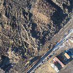
The appropriate subjects for SmartMatch/DSM for drone and UAS are those having terrain with natural random textures like the scenes shown below. PhotoModeler works well with focused datasets of under 200 photos.
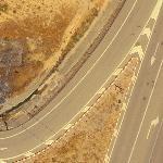 | 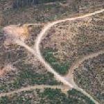 | 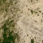 |
 | 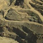 |  |
photography
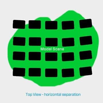
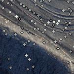
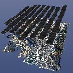
Take aerial photos with plenty of overlap (aim for approximately 60% or more side overlap). Typically photos are nadir (pointing straight down) but angled photos will work as well in some cases. A consistent spacing achieved with flight control software gives the best results. Photos should be in focus and exposed well. Random textured surfaces (ground, grass, short plants, sand, coal, roads) produce the best surfaces.
examples
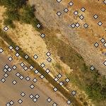
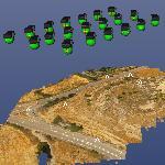
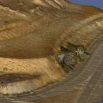
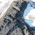
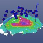
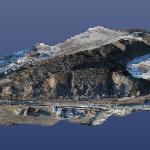
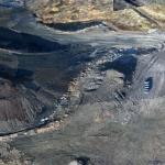
Here are some examples using this technique - with a brief description, a sample photo, the camera positions, and the 3D model for each:
Sample Description | Sample Photo | Photography Layout | 3D Result |
|---|---|---|---|
 |  |  | |
 |  |  | |
 |  |  |
tools to use
PhotoModeler tools/features used in these projects:
- SmartMatch – To orient your photos and build the approximate shape
- Geo-coordinate systems – To orient your photos and build the approximate shape
- DSM/MVS – To build the dense point cloud
- PointMesh Edit – Triangulation of the point cloud into a surface
- Volumes – To measure volume of various pile areas
- Contours – To generate a contoured 3D map
- Orthophoto – Re-rendering of photographic data to take into account the surface shape
- PDF Report – Summary of project data and quality analysis exported to a pdf file
SmartMatch, DSM , PointMesh Edit, Volumes, Geographic coordinate systems, Camera Auto-calibration, and PDF project report. tools are available in PhotoModeler Premium.
