Surveying Applications with PhotoModeler
PhotoModeler is the ultimate survey tool when bringing bulky equipment into rugged field conditions isn’t an option. When you need higher accuracy in your point clouds than your laser scanner can provide, PhotoModeler Premium is your solution
PhotoModeler is the most versatile tool available for a surveyor’s toolbox, capable of generating results as a standalone application, or for combining with data sets from other devices for control and alignment of your critical survey projects.
- Land surveys, slope/grade and property lines
- Document as-built conditions of structures large and small
- Stockpile shape and volume measurement
- Site damage inspection
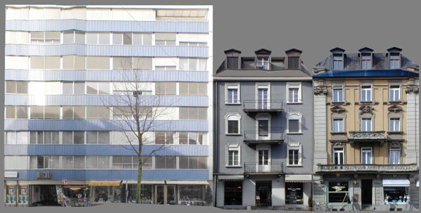
- Compare site or structure conditions over time
- Collect data from a safe distance in hazardous environments
- Works with ground, aerial, underwater photos
PhotoModeler can be used to create accurate line drawings, DEMs, and orthophotos. Input coordinates are accepted from other surveying equipment and outputs can be geo-referenced.
Surveying Examples
- stockpiles
- industrial
- architectural
- forensics


Surveying is often done at accident and larger crime scenes. Here an incident between a GMC pickup and a Saturn at a rural intersection was documented with photographs from a police-owned camera and evidence markers. Not only was a scene diagram created, but an orthophoto was used to check tire mark shape, and some crush measurement was done at the scene (again using PhotoModeler). The photograph shows the scene with the pickup truck in the foreground with skid marks, and the Saturn sedan in the far background on the field.

A 2D diagram (Courtesy of DCM Technical Services) was created in CrashZone from the data exported from PhotoModeler. PhotoModeler is a full 3D package but can easily export data projected on a plane for 2D mapping.

An orthophoto of part of the road surface was generated showing the skid marks. One cannot get the true shape of the skid mark in a photograph taken at ground level due to perspective distortion. The rectification and orthophoto function of PhotoModeler creates an output image that removes the perspective distortion - as if the photograph was taken from in the air over the road. The true shape of the skids can be studied in such an image.

The 3D view of the 2D diagram in CrashZone is suitable for court and jury presentation, as some may find it easier to understand.